
The Final Survey Check Before a New Subdivision Lot Becomes a Home
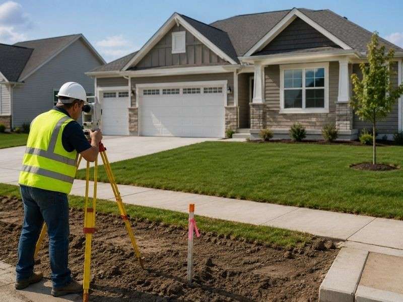
A new house is the result of a long line of construction. During that process, the ground takes a lot of punishment. Dirt movers reshape the land, utility crews dig deep trenches, and heavy trucks roll over the soil. Before the keys are handed over, a final survey checks if the house and lot actually match the official plans. This final check protects the new owner more than people realize.
Checking the Lot Against the Real Streets
The official map, called a plat, promises a specific piece of land with exact measurements. However, construction crews build their own version of the neighborhood, and the two versions do not always agree.
The final survey measures how well the real neighborhood matches the map. Surveyors check the lot corners against the positions of the new curbs, sidewalks, and streets. Small mistakes are common and usually fine. For example, a curb built slightly out of place rarely matters. But if a lot corner is off by a few feet, it could change where a driveway can go or where a fence can be built. This measurement settles what the buyer is actually getting.
Making Sure Boundary Markers Survived
Lot corners are marked early in the process, but they are often abused. Between the time the markers are placed and the time the grass is laid down, every heavy machine on the job site passes by them. Common problems include:
- Steel pins being ripped out during digging.
- Markers getting buried under piles of dirt or new topsoil.
- Pins getting bent or dragged sideways by heavy equipment.
- Corners getting covered by new concrete driveways or sidewalks.
The surveyor looks for every required corner and resets any that were destroyed. A found pin is only trusted if its position is double-checked. A bent marker in the wrong place is more dangerous than a missing one because it gives the wrong information. In the end, the owner gets corners they can actually trust.
Finding the Finished House and Improvements
The house is the main focus of the survey. The finished building is measured in its real position. The survey shows exactly how many feet the foundation sits from the edge of the lot. Porches and steps are also included because they bring the building closer to the property line.
The rest of the lot is also mapped out. This includes driveways, air conditioning pads, and walls. For the buyer, this map answers important questions. It shows exactly where a fence can go and proves that the driveway is actually on the right property. If there is a mistake, the builder is held accountable before the sale is final.
Comparing Easements with the Finished Lot
Most lots have “easements.” These are areas where utility companies or the city have the right to run pipes, wires, or drainage. The original map showed where these should go, but the final survey shows where they actually are.
The survey reveals if equipment like electrical transformers or water drains landed in the right spot. It also shows if a driveway accidentally crossed into a utility zone. For the homeowner, this means the rules are no longer “fine print.” They can see exactly which parts of their yard have restrictions before they decide to plant trees or build a shed.
A Clear Record for the Homeowner
The final drawing is made to be easy to read. Even if you have never seen a survey before, you should be able to follow the labels for the lot lines, the house, and the easements.
Homeowners should keep this survey with their closing papers for as long as they own the house. It is useful for getting fence quotes, planning a pool, or selling the home later on. Years from now, this document will answer questions in minutes that would otherwise cost hundreds of dollars to solve with a new survey. The lot started as lines on a map, and this page is the proof of what those lines became.
Frequently Asked Questions
Is the neighborhood map enough to show the exact corners of a lot?
No. The official map shows the plan, but only a field survey shows where those lines are on the ground today. After construction, corners often need to be found or replaced before they can be used.
Can yard work or utilities move the lot markers?
Yes, quite easily. Heavy machines can move, bury, or bend small metal markers without the driver even knowing. A moved pin looks just like a correct one, which is why a final check is so important.
What should a new homeowner keep from the final survey?
You should keep the signed drawing, the legal description of the land, and all closing documents. Storing these together makes it much easier to start new projects or sell the house in the future.